Currently reading: Why Ordnance Survey paper maps are making a comeback
It may be the age of sat-nav, but Ordnance Survey has reintroduced an iconic series of maps due to public demand

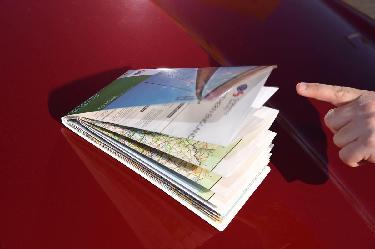
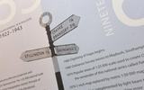
In 2009, Ordnance Survey killed off its OS Road maps, a series of eight glovebox-friendly, 1:250,000-scale maps designed to help motorists plot a course around Britain.

It seemed like a natural progression. The maps harked back to halcyon days when the motor car and an improving road network liberated the population, but as satellite navigation became ubiquitous in family cars and online digital mapping services and smart phones developed, there was deemed to be less of a need to wrestle with old-fangled paper equivalents and their tricky folds.

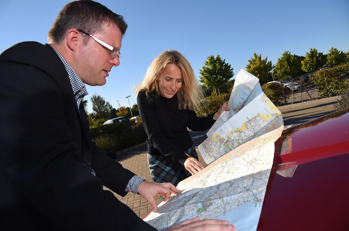
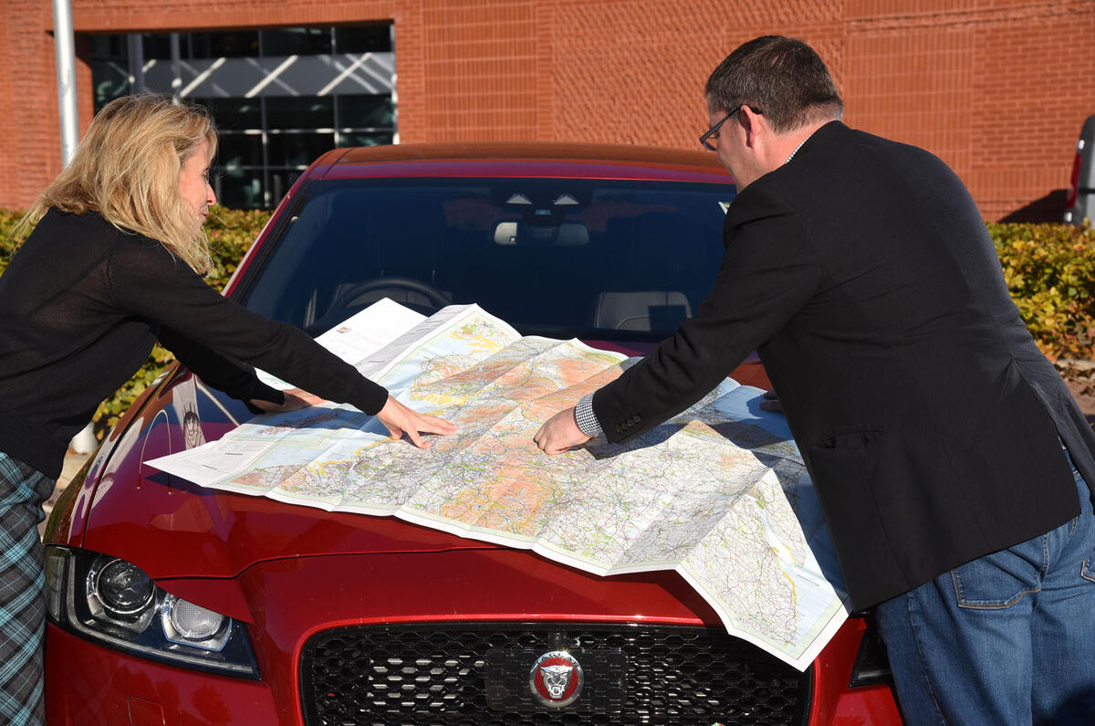
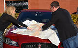
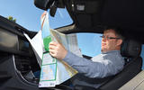
Now, though, the OS Road series has been reintroduced due to customer demand. It would appear that many motorists want a bit more than a computerised voice barking route instructions at them. They want to plan in advance, to see their surroundings in context and to have a failsafe in case their digitised mapping options lets them down.

“When the Road series was withdrawn in 2009, there was a business case for them being withdrawn; it wasn’t just done on a whim,” says Amanda Barr, product manager at OS. “The reason we looked at it again is that it became evident that sheet map sales had stopped declining and had been pretty static over the past three years. We asked our key retailers and carried out customer research and they felt there was still a need for these products.”

Os maps web 75

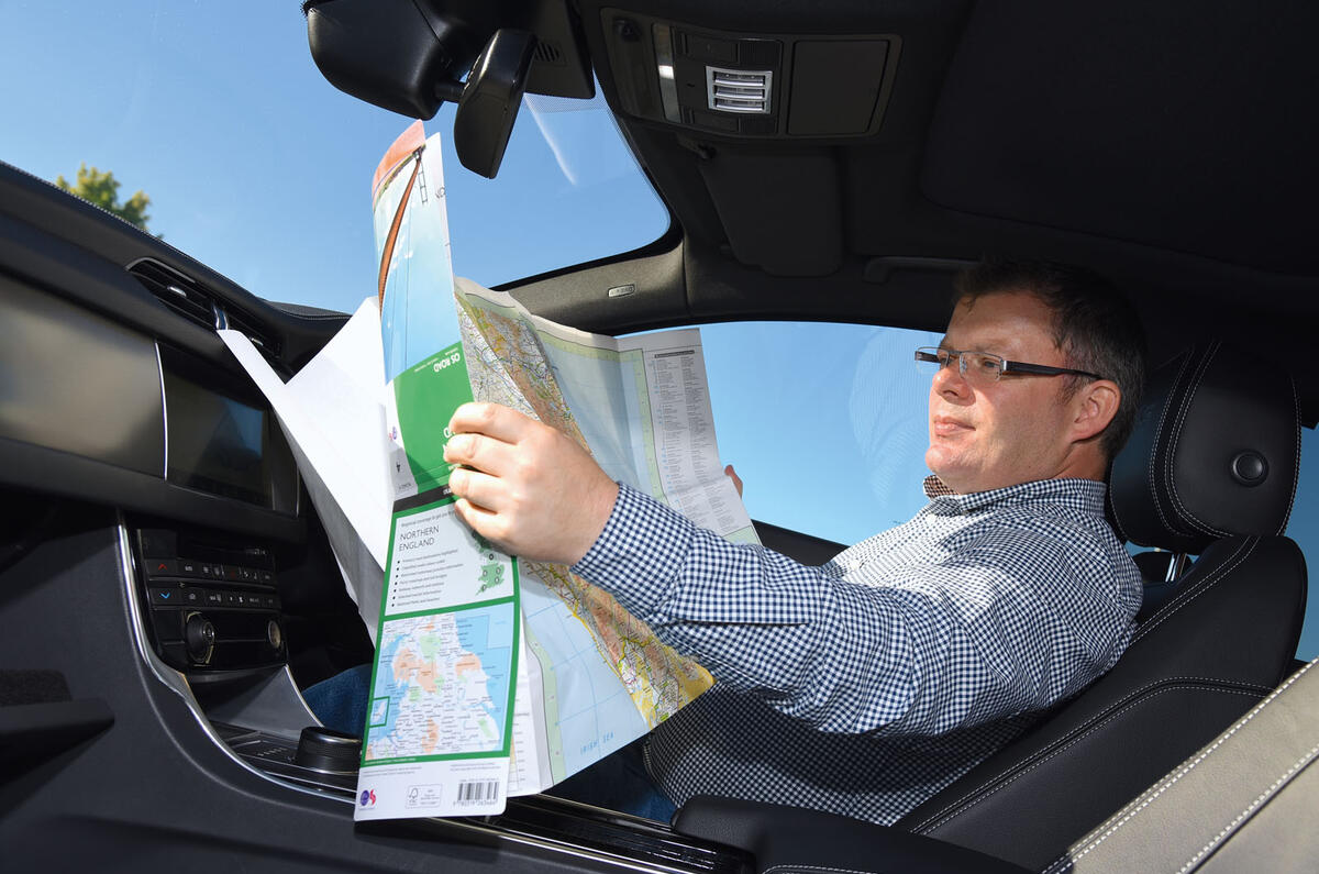
Barr says the maps are intended to be complementary to digital systems: “What we are seeing is they are used for planning when people are at home, so you can get the context of a journey. And they are for the times when you are lost and the sat-nav isn't helping. The map in the glovebox gives you that extra security.”

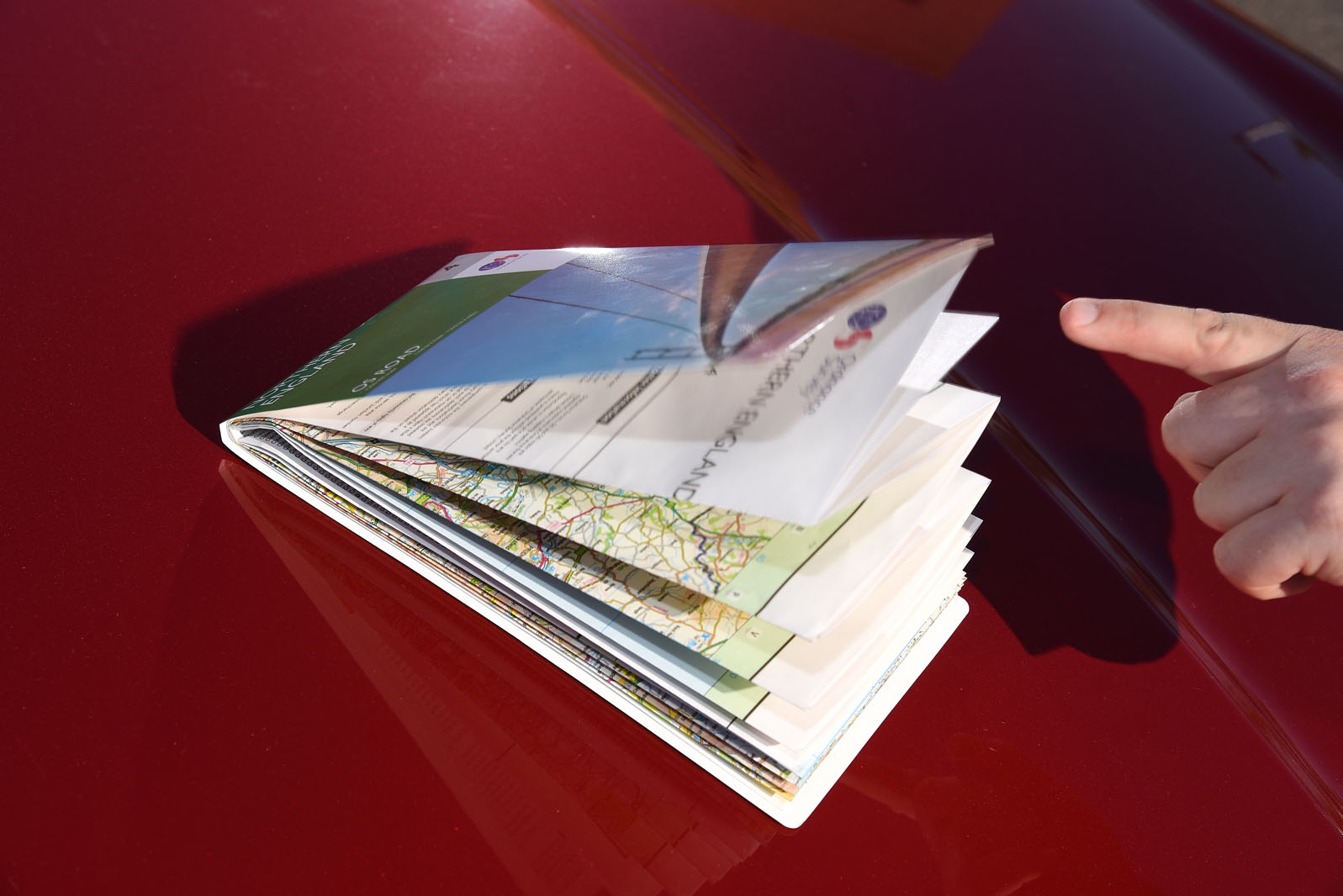
The new maps – like all OS paper products derived from the agency’s powerful digital data sets – have been tweaked to take into account the sort of information motorists can easily find online. For example, the series previously used lollipop markers as a system for showing the distances between towns. “We’ve taken those away because if people want mileage, it’s easy to do that online rather than plan it on a map,” says Barr. Instead, new features have been added. For the first time, the maps will show designated beaches and National Parks visitor centres. “We’re very much about encouraging people to go outside and enjoy themselves,” Barr adds.

Back to top

“We tried to consider how people might be using it to get to places and then where they might visit when they arrive.” Excitingly, the Southern Scotland sheet is the first OS product to feature the partially completed Queensferry Crossing across the Firth of Forth.

When the maps went back on sale last month, more then 800 were sold in just over 24 hours, far exceeding OS’s expectations.

Each sheet in the Road series is expected to average about 10,000 sales per year, although the three Scottish maps traditionally sell in smaller numbers than the ones depicting more populated areas and holiday destinations.

“It’s a nice product to get back out there and it is an unexpected success story,” says Barr. “There wasn’t a problem with the products; it was just that the market changed. Now the market has changed again and this product is still suitable.”

Os maps web 77

Buoyed by the reception to the revived Road maps, OS is now plotting the reintroduction of its two-sheet Route Planning map.

“At its peak, it was one of our most popular maps,” says Barr. “The reason that it hasn’t come back at the same time as the Road series is because we haven’t maintained those data sets, so we have to work out what we have to do to refresh it.”

Sheet map sales account for a small portion of OS’s revenue these days, but the return of the Road map is affirmation that there’s still life in paper products.

“We in no way see the decline of the paper map,” continues Barr. “We’re not going to move away from them because we can see they can resonate with people. We’re trying to broaden our target markets, but we don’t want to turn our back on loyal customers.

“Ordnance Survey maps have always been emotive, and when you speak to customers it is such a nice feeling, because they love the brand. It isn’t just a functional product. We’re lucky in that respect.” 

Join the debate

Comments
7
Add a comment…
Phinehas 24 October 2016

I've always had a good supply

I've always had a good supply of OS maps because I hate the tiny world view a satnav screen has, even though I use the satnav for navigation. Map reading, though essential, was never a ubiquitous skill before satnav. Now it's almost atrophied, gone the way of remembering phone numbers.
Chris C 23 October 2016

Maps

Paper maps and road atlases are useful to prove that the satnav is actually sending you the long way round, not to mention days/locations when it can't find the satellites...
josen100x 23 October 2016

SatNav is great, but...

...maps are all inclusive and give a much greater perspective. If I'm going somewhere new I usually get a rough idea by going online and looking at google maps or AA route planner, and not just totally rely on the satnav as they are far from perfect.
Bob Cholmondeley 23 October 2016

josen100x wrote:

josen100x wrote:

...maps are all inclusive and give a much greater perspective. If I'm going somewhere new I usually get a rough idea by going online and looking at google maps or AA route planner, and not just totally rely on the satnav as they are far from perfect.

www. streetmap. co. uk is a very useful site, presenting OS maps in a variety of scales. I use it often.