


Toyota has unveiled a new system for generating high-precision maps using data from onboard cameras and GPS devices at the Consumer Electronics Show (CES) in Las Vegas.
The Japanese manufacturer says the new system – which gathers data from production vehicles as opposed to the traditional method of using specially built vehicles equipped with 3D laser scanners – will help the safe introduction of automated driving.
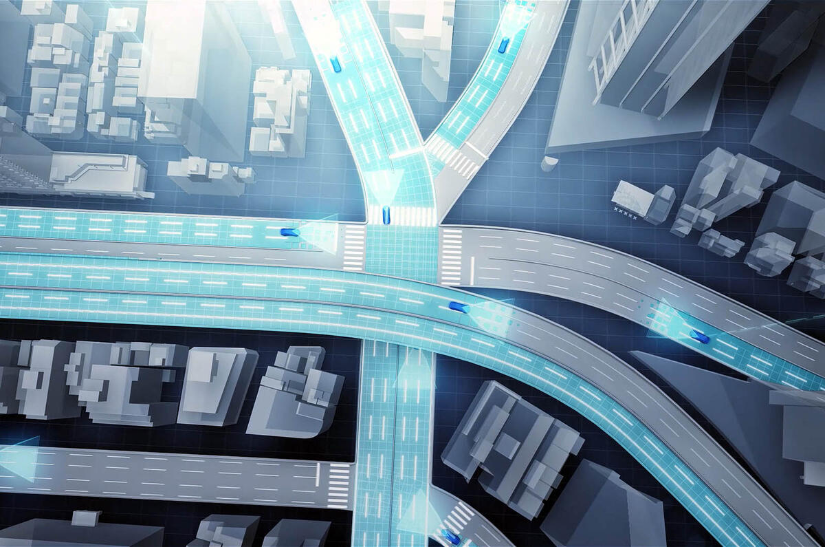
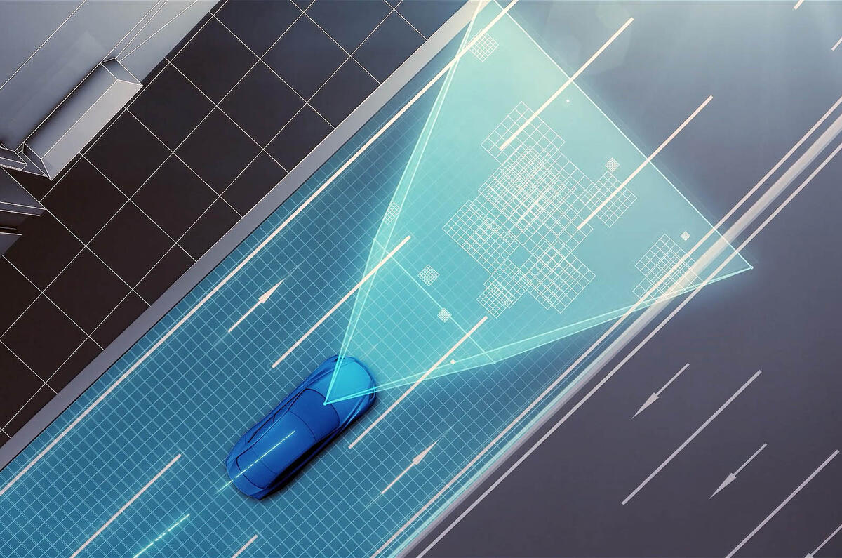
The road images and vehicle position information gathered from cars is sent to data centres where it is automatically pieced together, corrected and updated to create highly accurate maps that cover a wide area.
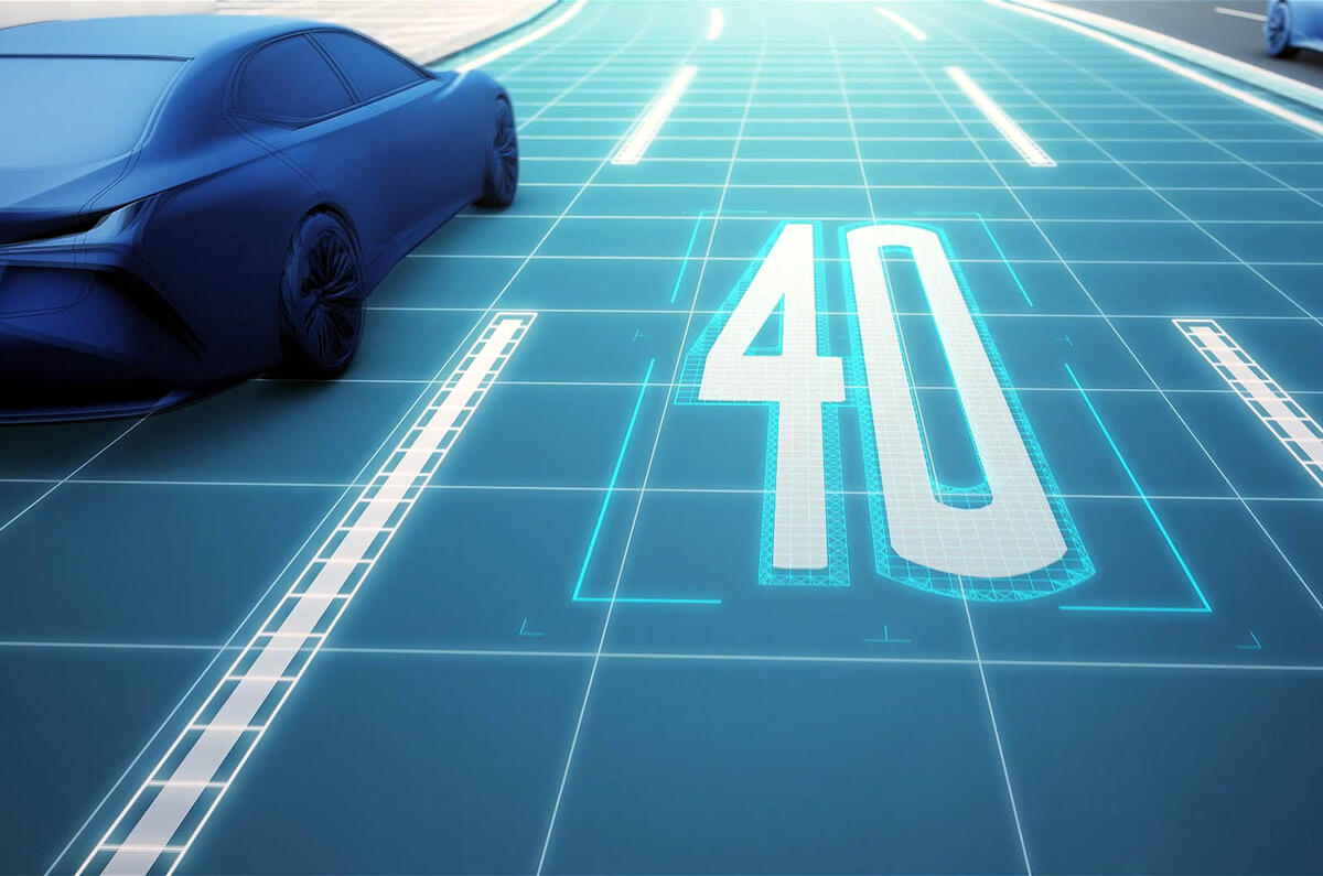
Automated driving systems will need an accurate understanding of road layouts and traffic restrictions, speed limits and signage. Also, precise measurement of vehicle positional data requires the collection of information on dividing lines, kerbs and other road features.
Using the traditional (and more costly) method of mapping via 3D laser scanners data has to be manually edited to add information on road features, such as kerbs, divides and signage. The data collection is infrequent, so the maps are not updated regularly and their usefulness is limited.
Toyota’s new system uses automated, cloud-based spatial information generation technology to generate high-precision road image data from the databanks and GPS devices used by designated vehicles.
There is a higher risk of error with a system that relies on cameras and GPS in this way, compared with one that uses 3D laser scanners, but positional errors can be mitigated by using image matching technologies that integrate and correct the road image data from multiple vehicles, as well as high-precision trajectory estimation technologies. This restricts the margin of error on straight roads to a maximum of 5cm.
By using production vehicles and existing infrastructure to collect information, this data can be updated in real time. It can also be implemented and scaled up at a relatively low cost.
Toyota plans to include this system in the automated driving systems that will be available in production vehicles by around 2020. While initial use is expected to be limited to motorways, it will work on expanding it to cover ordinary routes further into the future.


Join the debate
Add your comment
glad I am getting old
Bump and go...
Buffering...
pauld101 wrote: Presumably
I think that's the whole idea of this system. It's updated real time. It gathers information on a frequent basis including new road layouts.